Need a severe weather event covered? Contact me for further details.
Follow me on my social media accounts below!
June 16th, 2019 - Texas
Day two of the 2019 journey would take us into southern-central Texas.
Sufficient shear, strong instability and moisture would set the stage for supercells to develop during the afternoon and evening hours. Whilst the tornado threat was minimal, you can never rule it out in the US.
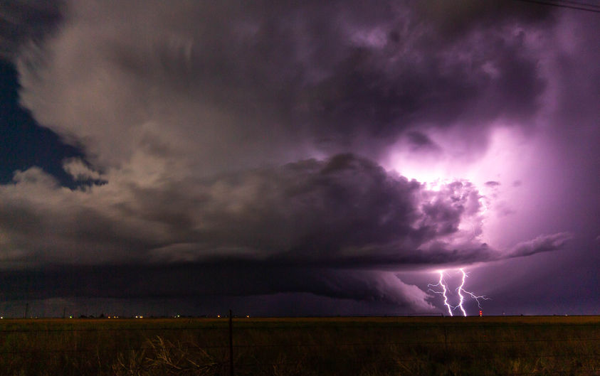
Our first supercell that develop, died a very slow death due to a capping inversion, so we quickly had to make a decision. Head south to a set of intensifying storms, or west where a mature supercell was ongoing on a boundary. We headed west and caught this stunning storm near sunset. The cg's were amazing, along with golf ball hail and pretty structure. A good day all around.
June 17th, 2019 - New Mexico/Texas
This was an interesting day...We decided to play in southern New Mexico away from chaser traffic and hope for a tail end charlie. A small LP supercell developed and hovered over the higher terrain for a few hours before moving east and dying.
Later that night towards the Texas border, a few supercells intensified and produced a spectacular light show. However the real show developed around midnight and after in eastern New Mexico when a couple of supercells went crazy! One become tornado warned and produced a SPECTACULAR light show at 2am! We were then treated to a very rare phenomenon, a moonbow!!! What a wicked chase
June 18th, 2019 - Texas Panhandle
There were two targets this day, a triple point in Kansas, or the dryline across the Texas Panhandle. We were worried about a lack of cap in Kansas which would means storms may go too early in the day and become too cluttered. This is exactly what happened, and the show was over early in this region.
We waited patiently in the western Texas Panhandle for storms to develop. Sure enough, a cluster of storms went up in the late afternoon. Although the tornado threat was small due to a lack of moisture (high based storms) sufficient shear would promote supercells. Eventually, an updraft took over the show and a very pretty high based supercell developed. It did become torando warned, and tried its hardest to produce, but just couldn't get the job done. The structure on this storm was stunning!


